Delivering Excellence in Geophysical, Geotechnical, and Environmental Surveys. With a commitment to precision and innovation, we offer comprehensive solutions tailored to your project needs. Our expert team ensures accurate, reliable results to support your success.
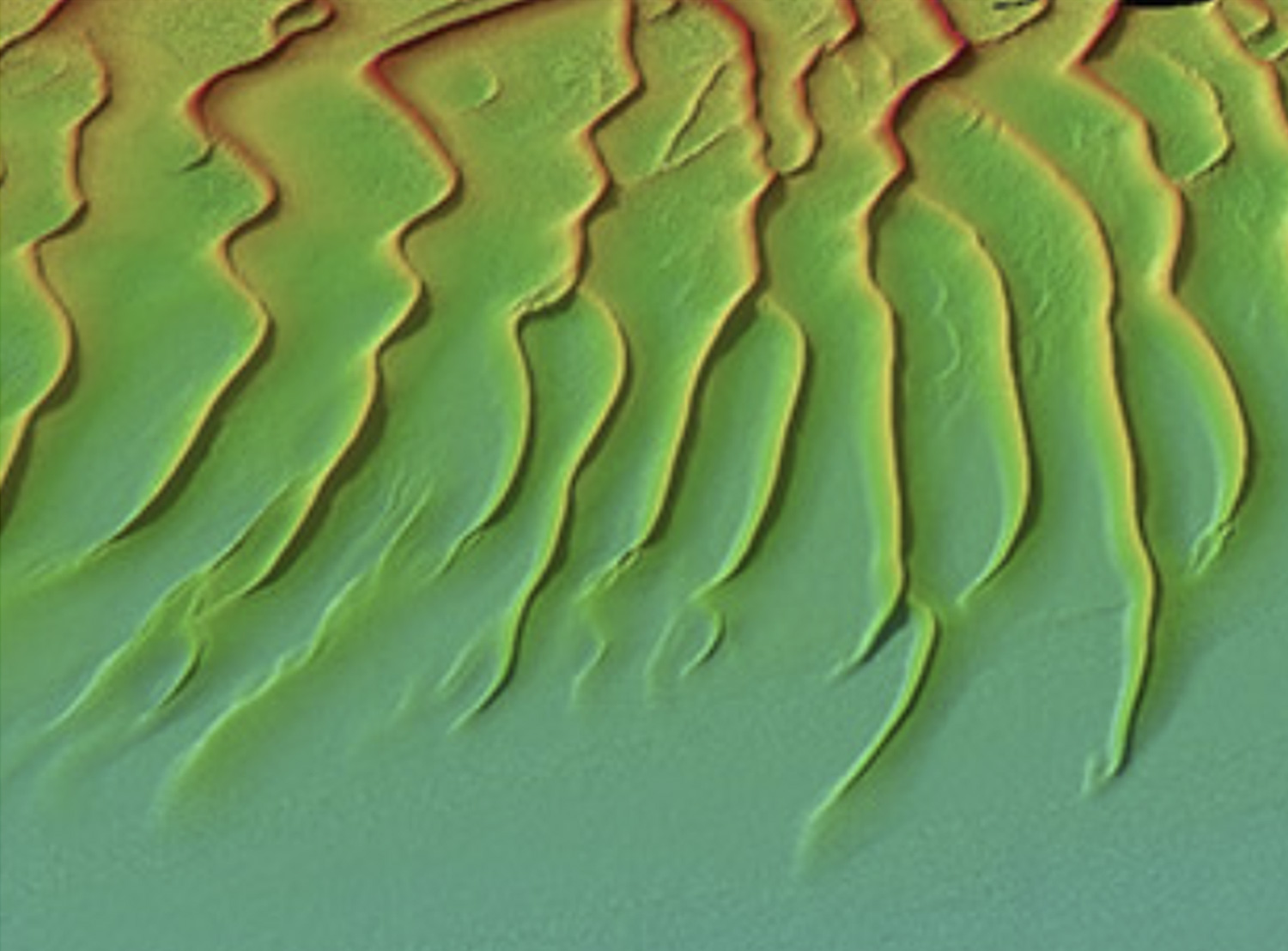
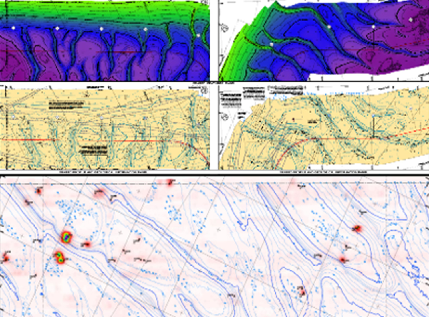
EGS consistently performs high-resolution surveys for the purpose of nautical charting. Stringent processing and quality control (QC) procedures are adhered to before submitting to the client for inclusion in updated admiralty charts. Vast expanses of the world’s oceans and waterways have yet to be surveyed with modern techniques. Meanwhile, areas with heavy vessel traffic and dynamic seabed necessitate frequent multibeam surveys to maintain current bathymetric data for nautical chart integration.
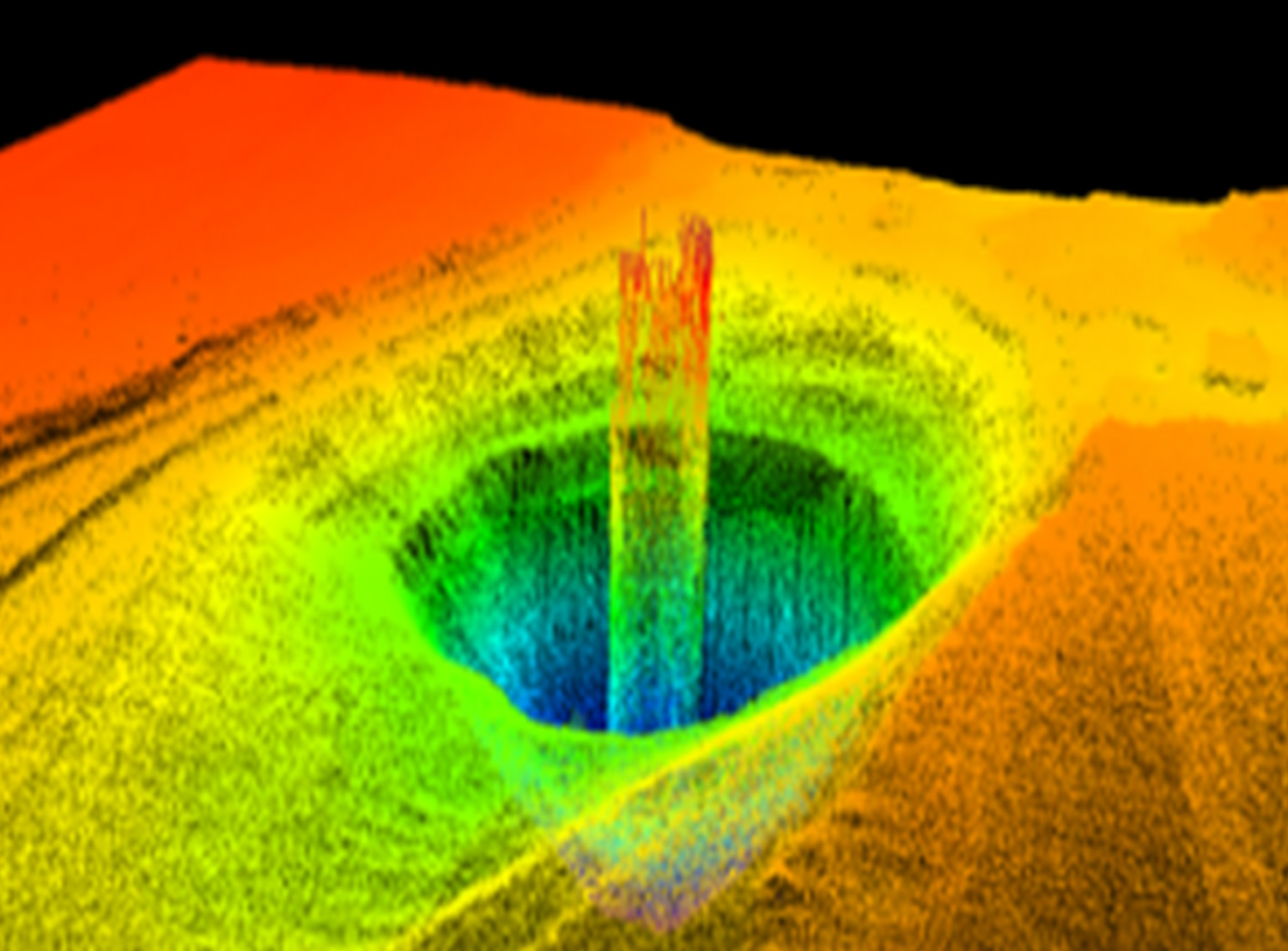
Rigorous online quality control is crucial to secure the necessary coverage and sounding density for target detection, as stipulated by the IHO Special Order and IHO Order 1a standards.
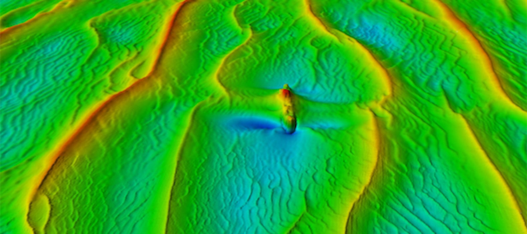
EGS surveyors have established thorough processing methods to guarantee the identification of all seabed features. Upon submission to the client and maritime authorities, these features are then included in the published nautical charts if they present a navigation hazard to vessels.