Delivering Excellence in Geophysical, Geotechnical, and Environmental Surveys. With a commitment to precision and innovation, we offer comprehensive solutions tailored to your project needs. Our expert team ensures accurate, reliable results to support your success.
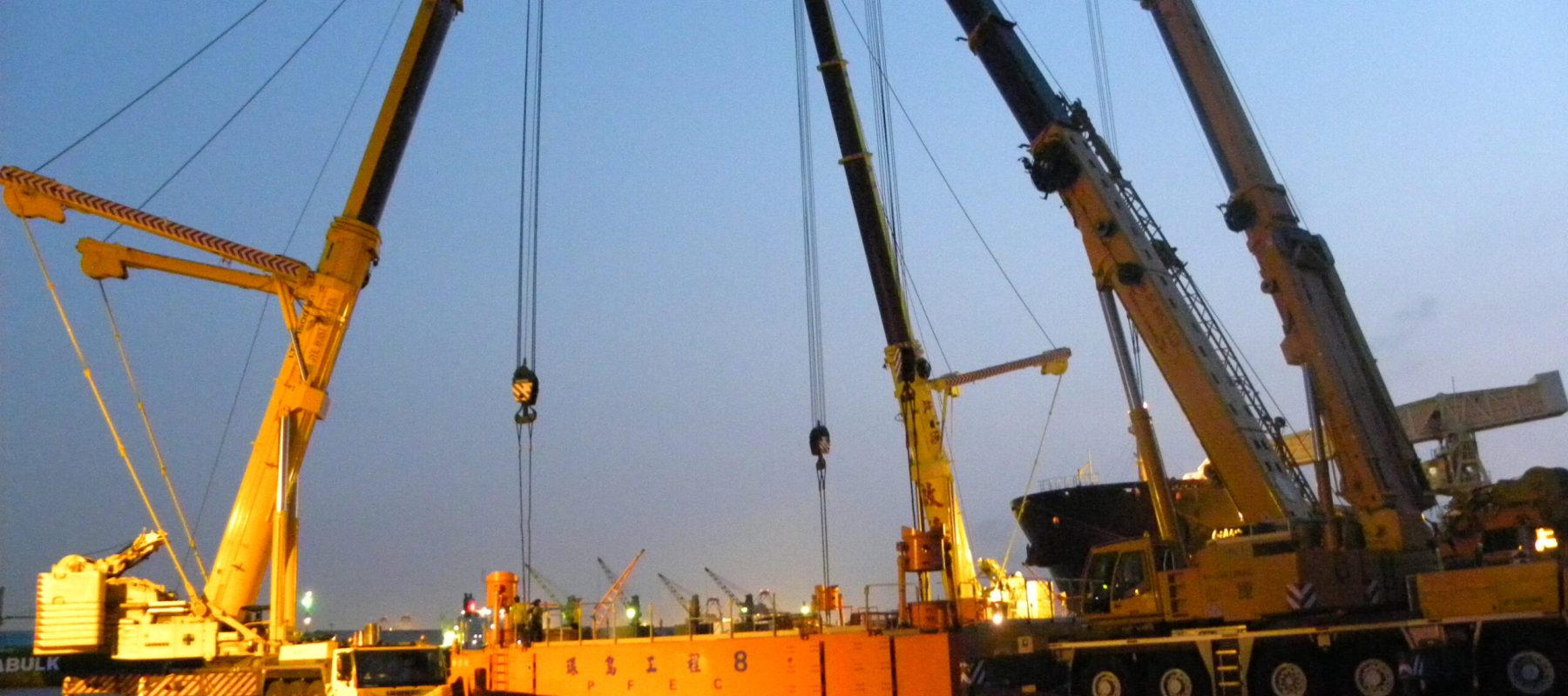
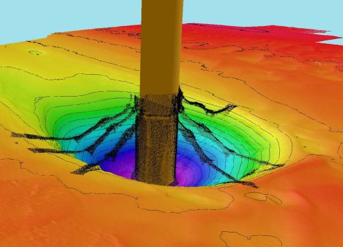
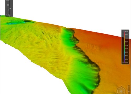
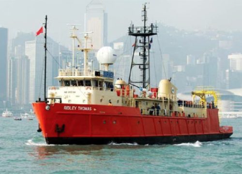
Ports and Marine Infrastructure Survey Services are essential for the design, construction, and upkeep of port and marine structures. These services include various activities such as hydrographic surveying, geophysical surveys, and geotechnical investigations. Hydrographic surveying maps the seafloor’s topography and features to ensure safe navigation and aid dredging operations. Geophysical surveys, utilizing techniques like seismic reflection and magnetometry, identify subsurface conditions and hazards, including buried pipelines or shipwrecks. Geotechnical investigations assess soil and rock samples to ascertain their capacity to support structures such as piers, wharves, and breakwaters. This data is crucial for engineers to create stable and durable marine infrastructure that can endure environmental pressures and frequent use.
Furthermore, these services are vital for the continuous maintenance and management of these facilities. Routine surveys help identify changes in the seabed, sediment build-up, and the integrity of structures, enabling prompt action to avert accidents or failures. They also facilitate environmental monitoring by observing shifts in marine ecosystems and water quality, ensuring adherence to environmental standards. By delivering accurate and thorough data, Ports and Marine Infrastructure Survey Services ensure the effective and sustainable management of ports and marine facilities, thus safeguarding the safety and economic prosperity of maritime operations.